Urban development plan for the San Marcelino neighbourhood – Competition
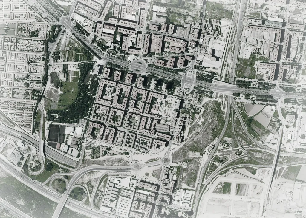
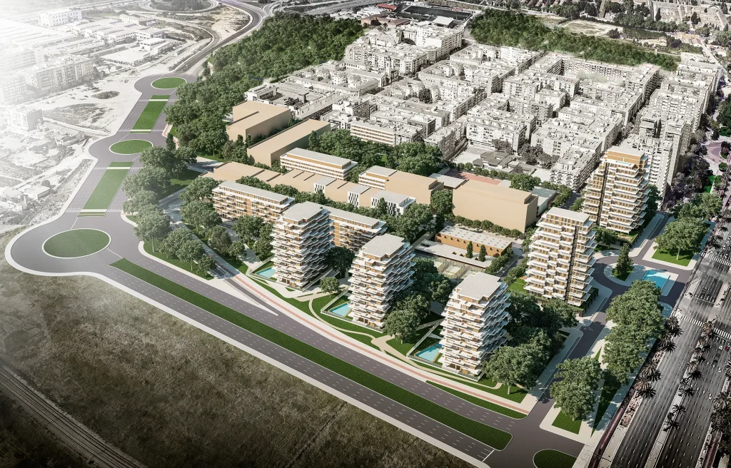
Nestled between major road networks – the Ronda Sur and the V 30 – in a new mixed-use development capable of integrating seamlessly with the established neighbourhood of San Marcelino. After years of being classified as urban land without any effective planning, Development Unit 5.1 is being reimagined as an opportunity to extend the existing city and provide it with quality housing, facilities and public spaces.
Superficie
8,6 hectáreas
Region
Valencia 2021
Market

Solution
An urban link to reconnect the city with its surroundings
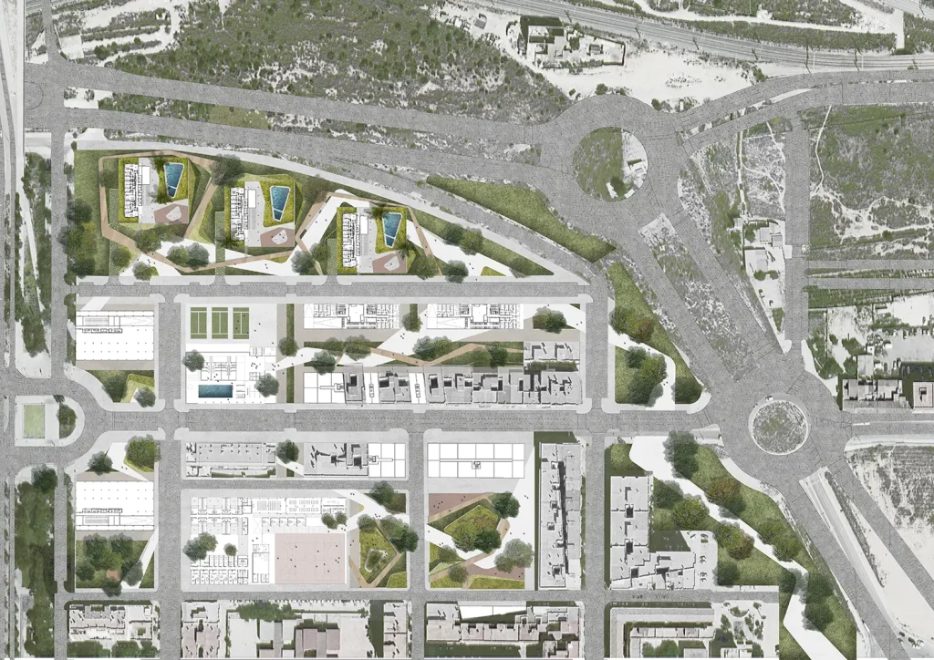
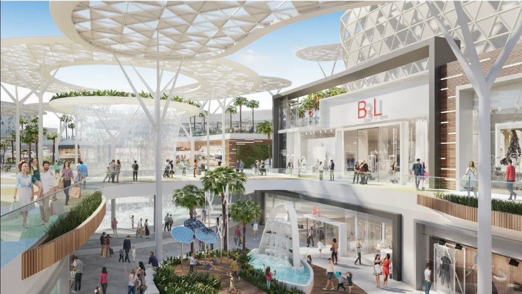
Covering an area of 86,600 m², the proposal recognises the perimeter nature of the infrastructure and uses it as the framework for a compact and clearly defined urban development. The Ronda Sur incorporates a service road that organises access points, whilst to the west the fabric of San Marcelino acts as an anchor point from which to extend new streets and pedestrian routes. The development plan prioritises a predominantly residential use with a mix of building types and the inclusion of retail and service activities on the ground floor, creating vibrant street fronts facing the existing neighbourhood.
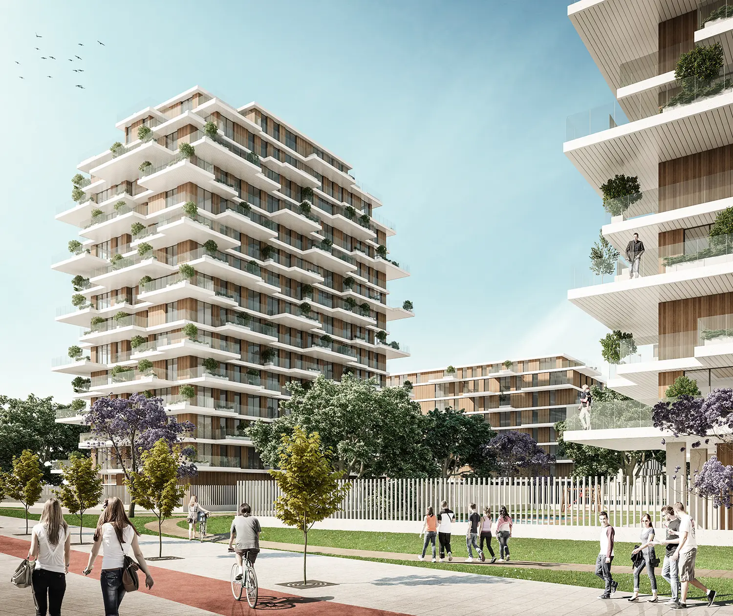
The overall layout combines blocks of collective housing with amenities and green spaces strategically distributed throughout the area. Analyses of housing types and local demand enable a balance to be struck between social housing and private-sector housing, with densities and building heights adjusted to suit the scale of the surrounding area. The internal network of roads and pedestrian walkways ensures connectivity between the established neighbourhood and the new blocks, whilst preserving and reinforcing the existing commercial thoroughfares in San Marcelino.
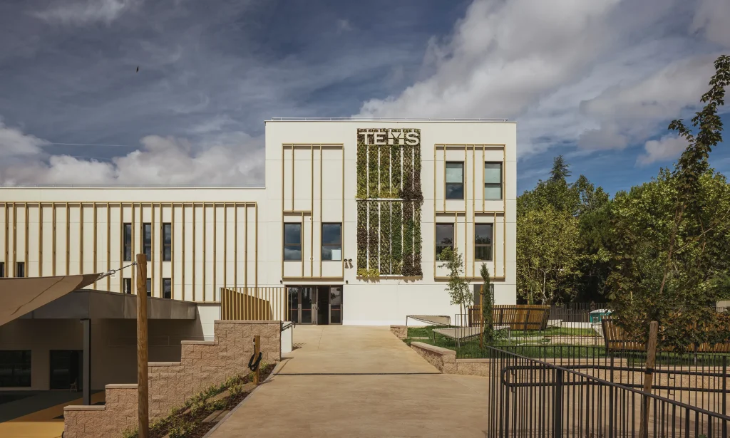
The proposal incorporates sustainability and mobility criteria: car parks are concentrated in underground levels to free up surface area for use as parks, squares and tree-lined walkways, whilst the proximity to the railway lines providing access to the city centre is utilised to support sustainable mobility, complemented by public transport and cycle routes. Educational and healthcare facilities are scaled to suit the projected population, shaping a new urban area that ceases to be a residual space and becomes an integral part of everyday city life.